|
About the SSI FreshWater CatalogueSSIFWC project objectives: raise community awareness of the island’s water diversity, help develop island watershed communities; support data gathering for island water resource quantification and
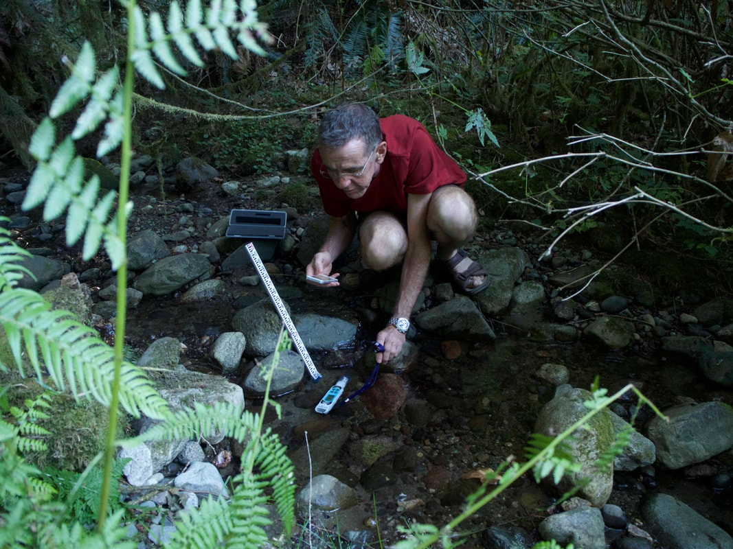
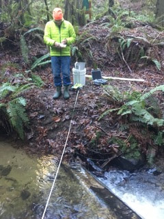
quality work, and help inform island watershed preservation/management activities. Volunteers are gathering a variety of data on SSI creeks and waterbodies, including:
Join us on Facebook: SSI FreshWater Catalogue Watershed Stewardship Group
Check out our website dedicated to the SSI FreshWater Catalogue for more details.
Watch our short film Freshwater Salt Spring or help with the SSI stewardship groups film Shaped By Water .
|
Volunteer Opportunities
BRING YOUR EXPERTISE TO A GREAT CAUSE!
|
Join the FreshWater Catalogue Team
|
NEWSFEED
For more information on the ongoing WPS FreshWater Catalogue project, visit our new website dedicated to the the FreshWater Catalogue
|
|
|
|
|
VOLUNTEER ROLES
WPS volunteers will gather the information and help liaise with other agencies and organizations to determine their levels of interest and gain their input on data collection requirements and methods.
Tasks include:
Project Manager: John Millson
To volunteer or for more information contact John at: [email protected]
Tasks include:
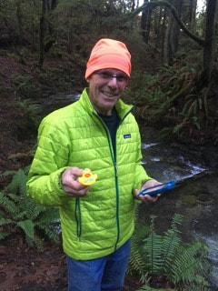
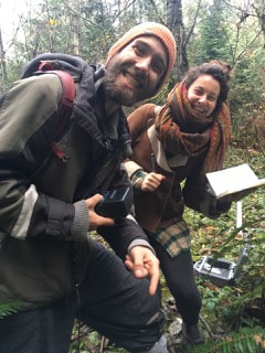
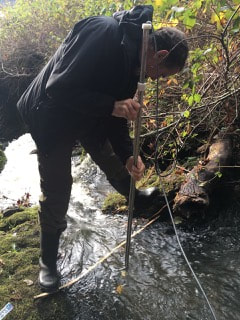
- capturing key waterbody data elements (extent, depth, flow, chemistry etc.) on a regular basis, ideally weekly through regular observation and documentation
- gathering historical and personal insights and information for water features and areas
- creating descriptions of the identified water resources for entry into the cloud database that will accompany the GIS water catalogue
- taking photographs of the identified water bodies
- creating a user-friendly GIS interface to be made available to the public
- providing feedback, input and data gathering via casual observations
Project Manager: John Millson
To volunteer or for more information contact John at: [email protected]
For more volunteer opportunities see Join & Volunteer tab
